Mahantango Creek (Snyder County) Fossil Hunting Guide
Image: Crownover.com
Mahantango Creek in central Pennsylvania is the type locality for the Middle Devonian Mahantango Formation, the dominant fossil-bearing shale and siltstone of the Hamilton Group across the state. Roadcuts and creek exposures across Snyder, Juniata, and adjacent counties produce brachiopods, trilobites, corals, and cephalopods of a 385-million-year-old shallow tropical sea. Access is roadside and on private land; permission required.
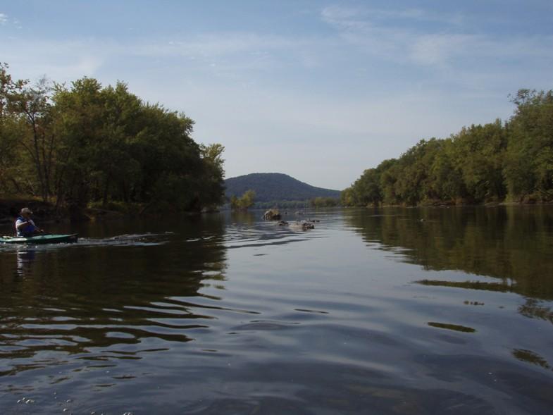
Mahantango Creek runs east through Snyder and Juniata Counties in central Pennsylvania before joining the Susquehanna River at the historic ferry community of Liverpool. The creek lends its name to the Mahantango Formation, the principal fossiliferous unit of the Middle Devonian Hamilton Group across Pennsylvania, Maryland, West Virginia, and northern Virginia. The formation crops out as grey to dark-grey shale and siltstone in countless creek banks, roadcuts, and stream-side exposures across the Appalachian valleys, and amateur and professional collectors have worked it for more than 150 years. There is no single "Mahantango Creek site"; the formation is best understood as a region with many accessible outcrops, several of them along the type-locality creek itself in Snyder County and along PA-104, US-15, and US-322 roadcuts in adjacent counties.
This guide describes the formation as a collecting region, the fauna it produces, and the access situation. For a permitted indoor-scale collecting pit in the same formation, see the existing Montour Preserve Fossil Pit page.
Location and Directions
Mahantango Creek rises near Bannerville in Snyder County and flows east-southeast for about 30 miles to its mouth on the Susquehanna at Liverpool, Pennsylvania. Most productive Mahantango Formation exposures in Snyder County are along the lower creek and in roadcuts in the Susquehanna Valley between Selinsgrove and Liverpool. Other classic exposures lie along the North Branch of Mahantango Creek and along PA-235 and PA-104. The reference coordinates above (40.65°N, 77.05°W) place a visitor in the Snyder County stretch of the type area, near the formation's namesake drainage.
How to plan a trip
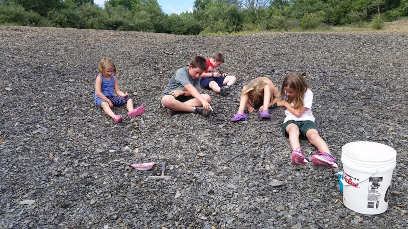
Most collecting in the Mahantango Formation is done at roadside exposures and small creek-bank outcrops. Pennsylvania law treats most road right-of-way exposures as collectible without a special permit, but the standard caution applies: roadcuts on numbered state highways with active traffic should be approached at a safe distance from the travel lane, and many exposures lie on private land where landowner permission is required. The longstanding amateur-paleontology guide at fossilguy.com is the most current public reference to specific accessible outcrops along Mahantango Creek and on PA-104, US-15, and US-322 in the region. For a fully permitted collecting experience in the same formation, the Montour Preserve Fossil Pit at Danville is the recognised public collecting site.
What Fossils You'll Find
The Mahantango Formation is Middle Devonian, about 390 to 384 million years old, and was deposited in a shallow, warm, subtropical to tropical sea on the western foreland of the rising Acadian mountain belt. The shales record quiet-water muds; interbedded siltstones and rare limestones record storm events and shallower-water episodes. The fauna is invertebrate-dominated and abundant.
Brachiopods are by far the most common find. The classic Mahantango assemblage includes the wing-shaped Mucrospirifer mucronatus, Athyris, Camarotoechia, Devonochonetes, Delthyris, and the large Mediospirifer audaculus. Trilobites are the headline find for most collectors. The Mahantango produces several genera, most commonly Eldredgeops rana (formerly placed in Phacops) and Greenops (now usually Bellacartwrightia or Greenops), and in some beds the long-bodied Dipleura dekayi. Complete enrolled or prone trilobites are uncommon but documented; isolated cephala and pygidia are more often encountered. The rock is fissile and tends to shatter into small shards, which makes extracting whole specimens a careful business.
Corals are present, principally rugose corals (Heliophyllum, Cystiphyllum, small horn corals) and tabulate corals (Favosites). Bivalves include Pterinopecten and Cypricardella. Cephalopods are mostly straight nautiloids and the occasional small goniatite ammonoid. Crinoid columnals are abundant in some beds but complete crowns are rare. Bryozoans are common as twiggy fragments. Echinoderm and ostracod material round out the fauna.
Geologic History
During the Middle Devonian the proto-North American craton was tilted under the load of the Acadian orogeny, the mountain-building event that produced the ancestral northern Appalachians. The basin to the west of those mountains, the Appalachian foreland basin, sagged below sea level and filled with mud and silt eroded off the rising highlands. Episodes of higher sea level allowed warm shelf seas to spread across the basin, depositing the Hamilton Group as alternating mudstones, siltstones, and rare limestones across a wide area of the modern Mid-Atlantic states.
In Pennsylvania the Mahantango Formation occupies the middle of the Hamilton succession. It is underlain by the Marcellus black shales (a hydrocarbon source rock famous for its modern gas plays) and overlain by the Tully Limestone and Genesee Group. The Mahantango itself is subdivided by the USGS into the Sherman Ridge, Montebello, Fisher Ridge, Dalmatia, and Turkey Ridge members in central Pennsylvania, each with distinct lithology and fossil content. The Acadian highlands eventually shed enough sediment to fill the basin and shut off the marine connection by the latest Devonian, ending Mahantango deposition.
How the area became a fossil locality
The Mahantango Formation has been collected for more than 150 years. Many of the early state-survey paleontologists worked these shales, including J.M. Clarke, James Hall, and later survey geologists who established the formation's stratigraphy along its namesake creek. The formation's accessibility from public roads and its abundant, well-preserved fauna have made it one of the most-collected Devonian units in eastern North America.
Collecting Rules & Regulations
Is Fossil Collecting Allowed?
Generally yes, with property-access caveats. Roadside exposures on public right-of-way and outcrops on lands where landowner permission has been obtained are open to amateur collection.
Key Points:
- Collect only with landowner permission for outcrops on private land.
- On state highway roadcuts, stay back from active traffic and check for posted closures.
- Hand tools only — chisel, hammer, splitting wedge. No power equipment.
- The fissile shale shatters readily; expect to leave most specimens in fragments.
- Montour Preserve Fossil Pit (Danville) and similar permitted sites are recommended for first-timers.
Sources
Nearby sites
 Montour Preserve Fossil Pit Fossil Hunting GuideTrilobites, Brachiopods
 St. Clair Fern Fossils Hunting GuideFossil ferns (Alethopteris), Fossil ferns (Neuropteris)
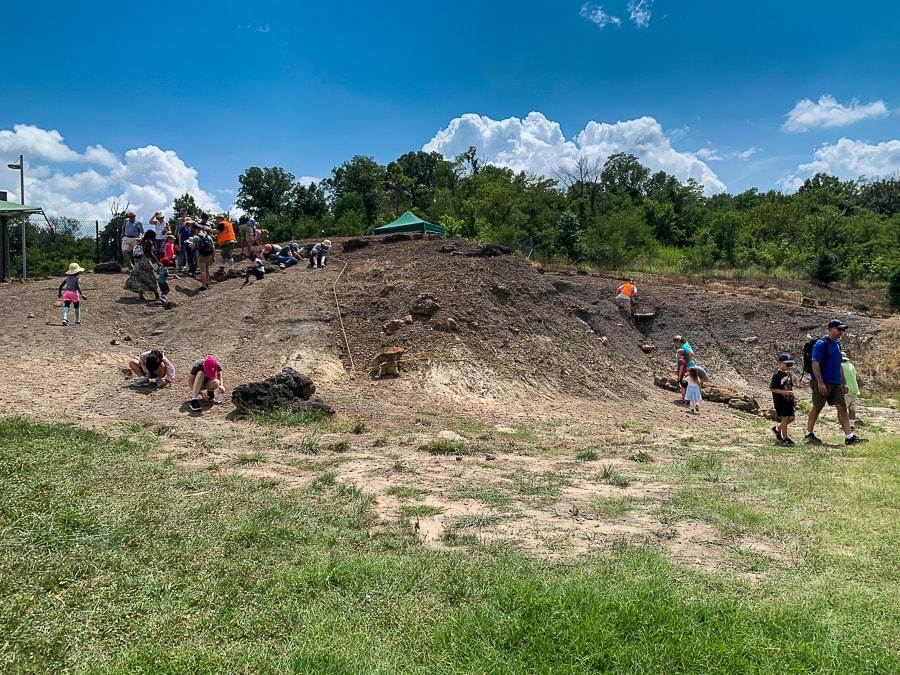 Dinosaur Park (Laurel, Maryland) Fossil Hunting GuideTheropod teeth, Sauropod bone
 Bay Front Park (Brownie's Beach) Fossil Hunting GuideShark Teeth, Ray dental plates